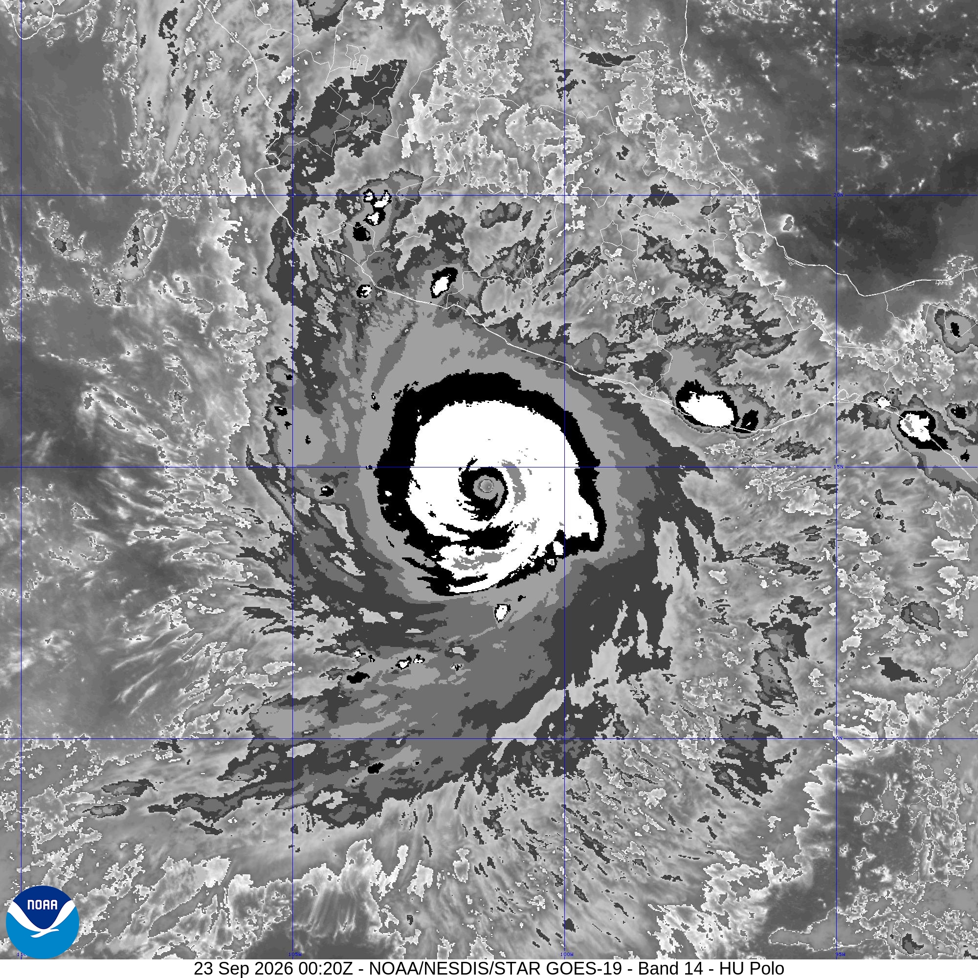
This brief follows the National Hurricane Center’s Intermediate Advisory 9A, issued at 6:00 p.m. CST on Tuesday, September 22, 2026 (0000 UTC September 23). Figures are the Center’s, not an independent estimate. The next complete advisory was scheduled for 9:00 p.m. CST.
01A Category 5, slightly off its afternoon peak
At 6:00 p.m. CST the center was near 14.6 north, 101.4 west: about 215 miles (345 km) south of Zihuatanejo and 360 miles (580 km) south-southeast of Manzanillo. Polo was drifting east near 1 mph (2 km/h). Maximum sustained winds were near 175 mph (280 km/h), with higher gusts. The estimated minimum central pressure was 900 mb (26.58 inches).
That is a small step down from the 3:00 p.m. CST advisory. Advisory 9, informed by a NOAA Hurricane Hunter flight, held winds at 180 mph and the central pressure at 892 mb (26.34 inches). The aircraft measured 168 knots at flight level. Forecasters reduced that to 155 knots (180 mph) at the surface and noted that 892 mb would ordinarily support even stronger winds, so the 180 mph figure was already conservative. Discussion 9 also reported hints of a secondary wind maximum, a sign a concentric eyewall may be forming. Eyewall replacement cycles commonly cause intensity to fluctuate even while a storm stays a major hurricane.
Earlier the same day, Discussion 7 reported that Polo had strengthened by about 90 knots in 24 hours and was closing in on Category 5 at 150 mph. Rapid intensification is an increase of 30 knots or more in 24 hours. Polo’s climb through Tuesday was far past that threshold.
What “Category 5” means here: sustained winds of 157 mph or higher. Hurricane-force winds currently extend only about 35 miles (55 km) from the center, and tropical-storm-force winds about 90 miles (150 km). Polo is extremely intense and still relatively compact.
02The core is forecast to remain offshore
A slow northwestward turn was expected to begin Tuesday night, then a general west-northwest motion over the following days. On that track the core stays near the southwestern coast of Mexico through the middle of the week and is forecast to remain offshore. NHC expects fluctuations in strength, with Polo remaining a very powerful major hurricane.
Open Hurricane Polo on the weather globe. That page draws the live National Hurricane Center position on the satellite Earth, separate from the stills on this page.
The 3:00 p.m. forecast discussion, still the latest full discussion at the time of this brief, allowed a slight further increase overnight, to about 185 mph, then a slow decline while the storm stayed at Category 5 for a couple of days. That is a forecast, not the 6:00 p.m. observed wind.

03Rain, wind, and surf along southwest Mexico
A Tropical Storm Warning is in effect from Tecpan de Galeana to Punta San Telmo. Tropical storm conditions are expected somewhere in that area by early Wednesday. A Tropical Storm Watch continues west of Punta San Telmo to Playa Perula, where those conditions are possible by Thursday. NHC said additional watches or warnings could be required Tuesday night.
Rainfall of 3 to 6 inches, with isolated totals up to 8 inches, is expected across coastal Guerrero and Michoacán through Thursday. That rain may produce life-threatening flooding and mudslides, especially in steep terrain. Coastal Oaxaca, Colima, and Jalisco may see 2 to 4 inches.
Swells from Polo are expected along southwestern Mexico for the next few days, with life-threatening surf, rip currents, and coastal flooding.
04The storm on GOES-19
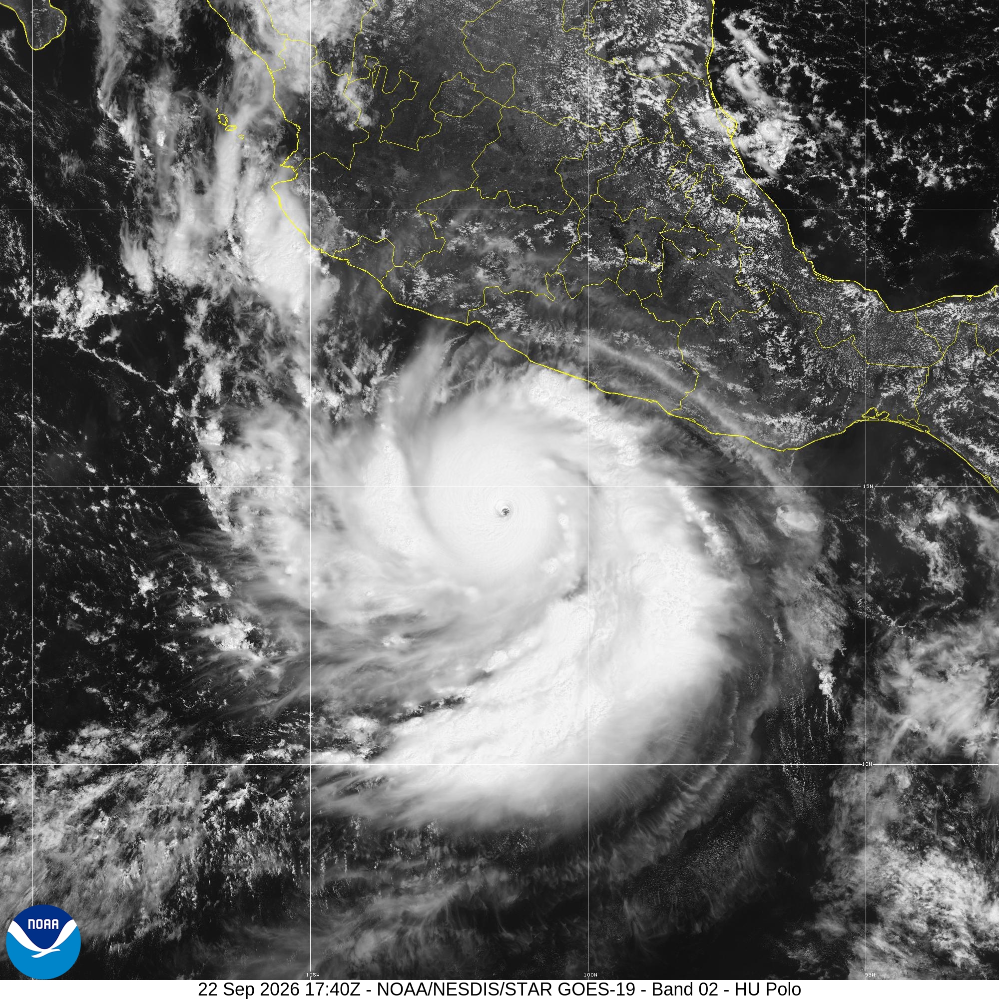
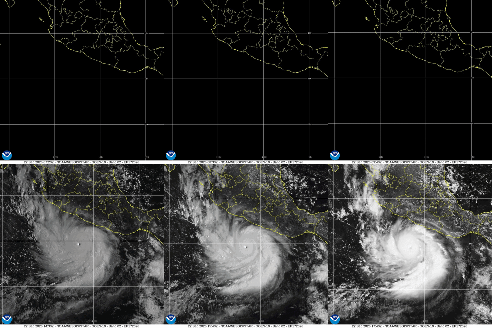
The visible image below is from 17:40 UTC on September 22 (11:40 a.m. CST), before the afternoon reconnaissance flight. It shows the pinhole eye that preceded the Category 5 advisories. The loop is the same GOES-19 visible band, saved from the public NOAA/NESDIS floater.
PRIMARY SOURCE
National Hurricane Center and NOAA satellite
- NWS National Hurricane Center. Hurricane Polo Intermediate Advisory Number 9A, 6:00 p.m. CST Tuesday, September 22, 2026. Position, motion, 175 mph winds, 900 mb pressure, watches, warnings, rainfall, and surf.
- NWS National Hurricane Center. Advisory Number 9 and Discussion Number 9, 3:00 p.m. CST. Hurricane Hunter wind and the 892 mb pressure.
- NWS National Hurricane Center. Discussion Number 7, 3:00 a.m. CST. The roughly 90-knot increase in 24 hours.
- NOAA / NESDIS / STAR GOES-19 floater for HU Polo. Visible Band 02 at 17:40 UTC September 22, the visible loop, and infrared Band 14 at 00:20 UTC September 23. Cone graphic: EP172026_5day_cone.png.
NOAA and National Weather Service products are works of the U.S. Government and are in the public domain. This page copies the 6:00 p.m. CST figures and does not re-analyze the storm. For a decision about safety, use the latest NHC advisory and the Mexican national meteorological service. No NOAA endorsement is implied.